Hurricane Marie creates dangerous surf
Rip currents strong enough to knock people off their feet will flow along the entire San Diego County coastline Thursday as energy from Hurricane Marie sweeps ashore in Southern California, says the National Weather Service and Surfline.com.
The weather service has issued a beach hazards advisory that will be in place through 1 a.m. on Friday. The advisory warns swimmers about rip currents and often overlooked strong longshore currents, which can place a lot of stress on swimmers and surfers. A surfer died in big waves at Malibu on Tuesday. (Story).
"Most of the hurricane's energy will miss San Diego County and go into southern and northern Orange County," said Kevin Wallis, a Surfline forecaster. "But extreme North San Diego County -- places like Oceanside -- will get 6' to 8' waves, with some larger sets, on Wednesday, and there will be strong currents every where." Other parts of the county will mostly get 3' to 5' surf.

Wallis said the waves will peak in the 8' to 10' range in parts of southern Orange County, and that they could hit 15' or higher in northern Orange County, from Huntington Beach to Seal Beach.
Beachcombers and swimmers should beware of the currents, especially during high tide. There will be a 4' 8'' high tide at 10:53 a.m. Wednesday and a 4' 9'' high at 11:20 a.m. on Thursday.
Follow the U-T's expanded surf and weather coverage on Facebook. Click here.
Get Essential San Diego, weekday mornings
Get top headlines from the Union-Tribune in your inbox weekday mornings, including top news, local, sports, business, entertainment and opinion.
You may occasionally receive promotional content from the San Diego Union-Tribune.

More from this Author


More in this section

San Diego-based DermTech is also exploring the possibility of a merger, acquisition, sale of assets, licensing or other transaction.

Illumina’s chief financial officer since early 2023 is leaving the company, and a new one is already lined up
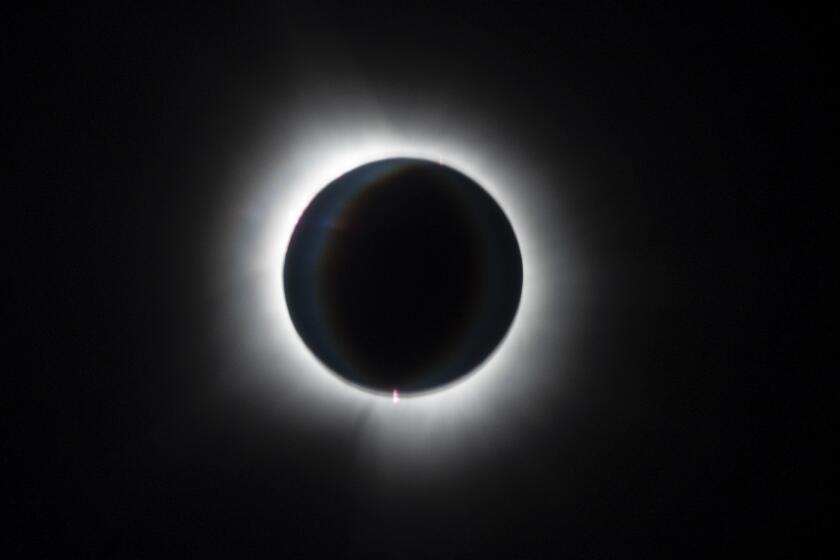
The skies turn out to be much clearer than expected, enabling people to see a rare phenomenon that never disappoints

ABOARD FLIGHT AS322 — As tens of thousands of people flocked to cities from Texas to Maine for a chance to see the total solar eclipse, others took a chance on one of the rarest views of the phenomenon: out the window of a jetliner 33,000 feet in the air.
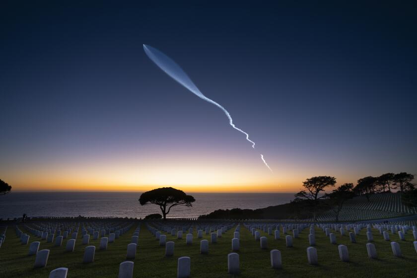
Space X asks the California Coastal Commission to OK as many as 36 launches annually from Vandenberg Space Force Base

‘The sun will appear as a crescent, which is always stunning,’ when it is obscured by the moon that morning, a UCSD astronomer explains


