Ensenada toll road set to re-open in fall
The final stretch of the coastal highway that leads to Ensenada looks out on some of the most picturesque scenery in Baja California — brush-covered hills giving way to sand-colored bluffs that drop sharply to Salsipuedes Bay on the Pacific Ocean.
But since the dramatic collapse of a 330-yard section late last year, drivers have been barred from the southernmost stretch of the Tijuana-Ensenada toll road.
Mexican federal authorities say they expect to reopen the road this fall — as early as September. Backed by extensive studies and elaborate plans, a government contractor is in the process of restoring the collapsed section to its original path nearly 300 feet above the coastline.
It is a massive task.
“If this were a normal area and not an unstable one, the fixes could be made immediately,” said
Ramiro Martínez Medina, the government engineer charged with overseeing the project. “We can’t give an instant solution. We have to make sure this lasts.”
Ground zero is kilometer 93, part of an area where the road has suffered cracks since 2011. Hoping to head off more problems, the federal toll road agency, Capufe, had contracted with a Spanish company last fall to construct a giant rock retaining wall to stabilize the hillside.
But some three months into the project, the cracks gradually expanded, culminating in the massive landslide on Dec. 28 that caused parts of the road to sink as much as 100 feet. By the time of the collapse, the road had been closed and cleared of drivers and vehicles — save for one southbound cement truck.
Today, the pieces of damaged roadway have been removed, and a contractor is busy rebuilding the road. One afternoon last week, workers poured concrete pilings — a measure intended to reinforce and stabilize the embankment that will carry the rebuilt road.
Martínez said another key measure being taken to ensure the stability of the road involves construction of a subterranean drainage system designed to capture moisture in the soil.
While “a sum of events” led to the road’s collapse, underground moisture was a major factor, said Luis Mendoza Garcilazo, a geologist at CICESE, a scientific research center in Ensenada. “The area is naturally unstable because beneath the surface is a mass that collects rainwater,” he said.
Unlike last month’s deadly landslide in the Cascade Mountains of Washington state, the earth’s movements in this region of Baja California “are a phenomenon that occur over time. They give notice, they give you time to take measures,” Mendoza said.
The conditions on the road parallel a stretch of California coastline in San Mateo County that bears the name Devil’s Slide, where the scenic coastal road has had a history of landslides and closures, Mendoza said.
Even before the decision was made in 1962 to build the Tijuana-Ensenada toll road as a major tourist attraction for Baja California, geologists knew of the region’s instability.
Yet for nearly five decades, the 55-mile Tijuana-Ensenada toll road has been an important a gateway to Ensenada and the southern part of the Baja California peninsula, a road that has been key to the development of the state’s northwest coastline into a tourist area known as the Gold Coast.
The stretch of highway now closed to traffic “is like Big Sur in Northern California, so peaceful, beautiful and untamed,” said George Saldamando, a former San Diego assistant police chief whose family-owned campground just south of the collapse, Playa Saldamando, has been shuttered since December.
The toll road has also been an important artery for transporting produce, such as tomatoes, strawberries and seafood products, from Baja California to the U.S. border.
Since the collapse, drivers continue to have access to its northern 35-mile mile section, but can only connect to Ensenada by using a two-lane inland road that veers off at La Mision.
Ensenada officials fear the closure of the 20-mile southern stretch to through traffic will be felt most strongly on the alternate route during the summer months, when the annual Vendimia, or grape harvest festival, brings large numbers of visitors to the Guadalupe Valley and nearby wine-producing areas. That is also the period when growers from the San Quintin area will be shipping tomatoes and other summer vegetables, said Jesús Jaime González Agúndez, the municipality’s second-in-command.
But tourism officials say so far, fears that the road’s closure would be disastrous for Ensenada’s economy have not materialized.
The toll road’s closure “has not affected us as badly as we anticipated,” said Jean-Loup Bitterlin, head of the city’s hotel association.
“If the road hadn’t collapsed, Ensenada would be better than ever,” said Oscar Escobedo Carignan, Baja California’s tourism secretary. He said the sector has been showing a strong recovery in Ensenada, with the return of cruise ships and a growth in the domestic tourist market.
A major tourism boost should come May 3, when the twice-yearly Rosarito-Ensenada bicycle ride returns along a new route: Rather than climbing up the free road, riders are being routed for the first time down the closed toll road. A narrow graded road will allow riders to cross the collapsed section onto the other side, said Capufe’s Martínez.
“We’re excited,” said ride promoter Gary Foster. “It’s a once-in-a-lifetime chance to ride your bike on that stretch of highway.”
sandra.dibble@utsandiego.com (619) 293-1716
Get Essential San Diego, weekday mornings
Get top headlines from the Union-Tribune in your inbox weekday mornings, including top news, local, sports, business, entertainment and opinion.
You may occasionally receive promotional content from the San Diego Union-Tribune.

More from this Author


More in this section
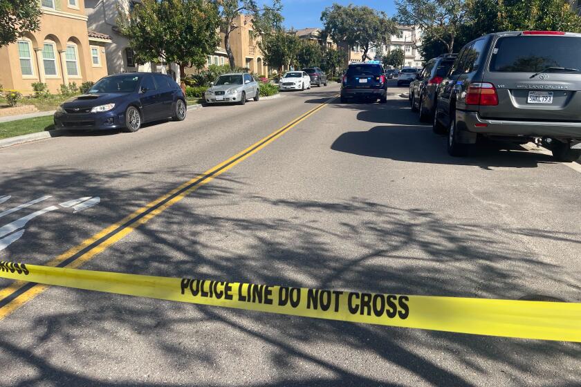
A high-ranking member of an Arellano Félix Organization remnant cell was gunned down near UTC. Then a man who Mexican authorities say is a reputed leader was shot in Chula Vista.
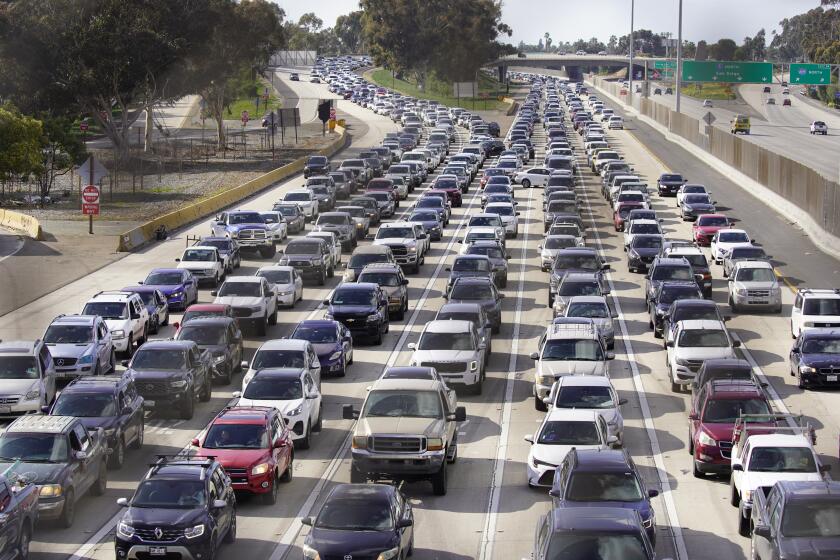
Months after Mexican president vowed to ease southbound border traffic, delays continue at the San Diego-Tijuana vehicle crossing
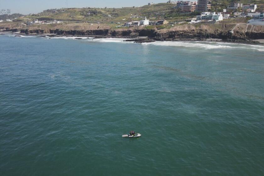
Víctor Oswaldo Villarreal had rented the boat to spend the day with his family in the Real Mediterraneo beachfront neighborhood of Tijuana
The boat crossed the maritime border around 6 a.m. and landed near Cortez Avenue and Sea Coast Drive
She reportedly clung to the top of the 30-foot border wall for over 20 minutes on March 21
Man attracts followers on his thousand-mile-plus journey of personal growth


